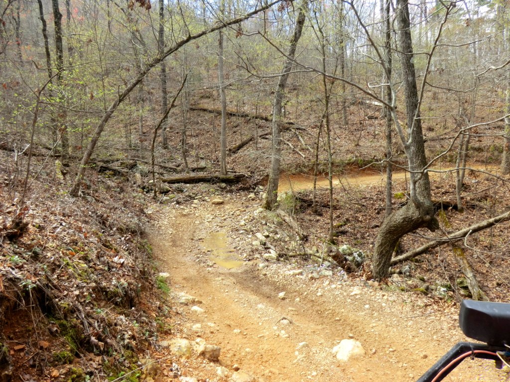
Off-road vehicle on a desert track
Off-Road

Off-Road Trails by State (71)

OHV, 4x4, ATV and dirt bike routes, grouped by state. Each page lists the vehicle classes a route is open to, width limits, permits and the land manager, with a legal notice at the top.

Today's pick

Hungry Valley SVRA in California
Closure alertOff-Road

Hungry Valley SVRA

Hungry Valley State Vehicular Recreation Area, California

California’s Tejon Pass riding area: rated trails from 3,000 to nearly 6,000 feet, now partly reopened.

Distance

19,000 acres · 130+ mi

Type

Motorcycle / dirt bike

Ocotillo Wells SVRA in California
Off-Road

Ocotillo Wells SVRA

Ocotillo Wells State Vehicular Recreation Area, California

About 85,000 acres of free, open desert riding next to Anza-Borrego, open around the clock.

Area

85,000 acres

Type

ATV

Rubicon Trail in California
Off-Road

Rubicon Trail

Placer County, El Dorado County and Lake Tahoe Basin Management Unit, California

The classic Sierra Nevada four-wheel-drive road from the Georgetown Divide to Lake Tahoe, about 22 miles of granite, boulders and forest.

Distance

22 mi

Type

High-clearance four-wheel-drive vehicle

Imperial Sand Dunes Recreation Area in California
Off-Road

Imperial Sand Dunes Recreation Area

Imperial Sand Dunes Recreation Area (Glamis), California

The Glamis dunes: a vast BLM sand-dune recreation area, with a required permit from October through mid-April.

Area

The Imperial Sand Dunes Recreation Area is a large BLM dune field; BLM does not publish a single trail mileage on the visit page

Type

ATV

Dumont Dunes OHV Area in California
Off-Road

Dumont Dunes OHV Area

Dumont Dunes OHV Area, California

7,620 acres of BLM sand dunes north of Baker, with a required recreation pass and year-round riding.

Area

7,620 acres

Type

ATV

Johnson Valley OHV Area in California
Off-Road

Johnson Valley OHV Area

Johnson Valley OHV Area, California

A 96,000-acre Mojave OHV area near Lucerne Valley, with no listed entry fee — and a large shared-use zone you must check before you ride.

Area

96,000 acres

Type

ATV

All 12 in California →

Alpine Loop Back Country Byway in Colorado
Closure alertOff-Road

Alpine Loop Back Country Byway

San Juan Mountains (BLM and U.S. Forest Service lands), Colorado

A 63-mile 4x4 byway over 12,000-foot passes between Lake City, Silverton and Ouray.

Distance

63 mi

Type

Jeep / high-clearance 4x4

Imogene Pass in Colorado
AdvancedClosure alertOff-Road

Imogene Pass

Ouray and San Miguel County high-country roads, Colorado

A high-country four-wheel-drive pass between Ouray and the Telluride side, closed in winter and usually cleared starting in May.

Area

Imogene Pass is a high-country jeep road between Ouray and Telluride / Tomboy; the counties do not publish a single official mileage on the pass-conditions pages

Difficulty

Advanced

Type

High-clearance four-wheel-drive vehicle

Black Bear Pass in Colorado
AdvancedClosure alertOff-Road

Black Bear Pass

Ouray and San Miguel County high-country roads, Colorado

One of Colorado’s steepest jeep passes, closed in winter, with a narrow, exposed descent toward Telluride.

Difficulty

Advanced

Type

High-clearance four-wheel-drive vehicle

Yankee Boy Basin Road in Colorado
Closure alertOff-Road

Yankee Boy Basin Road

Ouray County high-country roads, Colorado

A high-country four-wheel-drive road into Yankee Boy Basin west of Ouray, usually cleared starting in May.

Area

Ouray County does not publish a single official mileage for Yankee Boy Basin Road on its high-country roads page

Type

High-clearance four-wheel-drive vehicle

Medano Pass Primitive Road in Colorado
Closure alertOff-Road

Medano Pass Primitive Road

Great Sand Dunes National Park and Preserve, Colorado

22 miles of sand and creek crossings over a 10,040-foot pass from Great Sand Dunes.

Distance

22 mi

Type

4x4

Hell's Revenge 4x4 Trail in Utah
AdvancedOff-Road

Hell's Revenge 4x4 Trail

Sand Flats Recreation Area, Utah

Moab's famous slickrock 4x4 route: 6.5 miles of steep climbs and ledges for expert drivers only.

Distance

6.5 mi

Difficulty

Advanced

Type

Advanced high-clearance 4x4s and other advanced OHVs (not suitable for ATVs)

Little Sahara Recreation Area in Utah
BeginnerClosure alertOff-Road

Little Sahara Recreation Area

Little Sahara Recreation Area, Utah

Utah's big dune playground, from beginner sand to the 700-foot climb up Sand Mountain.

Area

62,000 acres

Difficulty

Beginner

Type

ATV

White Rim Road in Utah
Off-Road

White Rim Road

Canyonlands National Park (Island in the Sky), Utah

A 100-mile high-clearance four-wheel-drive loop in Canyonlands, open to street-legal 4x4s and motorbikes — not ATVs or UTVs — with a required day-use permit.

Distance

100 mi

Type

High-clearance four-wheel-drive vehicle with low range

Paiute ATV Trail in Utah
Off-Road

Paiute ATV Trail

Paiute ATV Trail (Fishlake National Forest and adjoining BLM and state land), Utah

One of the longest ATV trail systems in the country: about 275 miles of main trail and more than 1,000 miles of side trails in central Utah.

Distance

275 mi

Type

ATV

Coral Pink Sand Dunes State Park OHV Area in Utah
Off-Road

Coral Pink Sand Dunes State Park OHV Area

Coral Pink Sand Dunes State Park, Utah

A state-park dune field near Kanab, open in daylight with a $15 day-use fee, a required whip flag and a closed Conservation Area.

Area

Utah State Parks manages a dune field inside the park; a signed Conservation Area is closed to OHVs

Type

ATV

Shafer Trail in Utah
Off-Road

Shafer Trail

Canyonlands National Park (Island in the Sky), Utah

The famous switchbacks dropping 1,500 feet off Island in the Sky.

Distance

5.2 mi

Type

4x4

All 9 in Utah →

See these off-road routes on the map