
At a glance
Distance
Elevation gain
Difficulty
Trail style
Permit
Fees
Season
E-bike policy
Overview
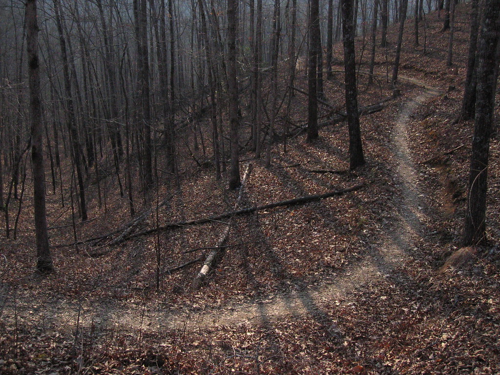
Tsali Recreation Area, in the Nantahala National Forest's Cheoah Ranger District, has a four-loop singletrack system along Fontana Lake. The Right Loop, Left Loop, Mouse Branch Trail and Thompson Loop add up to about 41.8 miles of singletrack, and the USFS rates every loop moderately difficult.
- Four singletrack loops totaling about 41.8 miles
- Views toward the Smokies and Fontana Lake from the Left Loop
- Campground and boat launch at the recreation area
Mountain bikers and equestrians are kept apart by alternating days, while hikers can use the trails any day. The Left Loop has views toward Great Smoky Mountains National Park and Fontana Lake, and the Right Loop can be cut to shorter 4- and 8-mile loops. There's a per-person day-use trail fee.
Plan your visit
Getting there
From Bryson City, take U.S. 19 south 9 miles to NC 28 west, turn right and go 5 miles; the sign is on the right. From Asheville, take I-40 west to exit 27 (U.S. 19/74), stay on U.S. 74 west to NC 28 west, turn right and go 5 miles. From Knoxville, take U.S. 129 south through Maryville to Deals Gap and turn left on NC 28 east; the sign is 25 miles on the left.
Parking
The trailhead lot is for day trail use; the upper lot is reserved for horse trailers. Pay the per-person day-use fee at the Tsali Bike or Horse trailhead (the USFS page doesn't state the amount).
When to go
The recreation area is open year-round; the campground is open April 15–October 31. Check the bike schedule for the month you're riding.
Good to know
In January–April, June, September, November and December, bikes ride the Right and Left Loops on Monday, Wednesday, Friday and Sunday, and Mouse Branch and Thompson on Tuesday, Thursday and Saturday. In May, July, August and October, it flips. We couldn't find an e-bike policy on the USFS page.
Trailhead map
Trailhead at 35.3944, -83.5922. Approximate location; check the official map.
Where to stay near Tsali Recreation Area Trails
Nearest town: Bryson City, NC
Find hotels and rentals near Tsali Recreation Area Trails
We may earn a commission if you book a stay through these links, at no extra cost to you. Prices and availability come from booking partners and can change. We never rank trails by commission.
The trail system: main loops
- 1Right Loop – 13.9 mi of singletrack, moderately difficult, with shorter 4- and 8-mile loops possible
- 2Left Loop – 11.9 mi of singletrack, moderately difficult, with views toward Great Smoky Mountains National Park and Fontana Lake
- 3Mouse Branch Trail – 8.7 mi of singletrack, moderately difficult, including old logging roads
- 4Thompson Loop – 7.3 mi of singletrack, moderately difficult
Tips
- Check the day before you go. Bikes and horses swap loops by day, and the pattern changes by month.
- Want a shorter ride? The Right Loop can be ridden as 4- or 8-mile loops.
- Ride the Left Loop for views toward the Smokies and Fontana Lake.
- Bring money for the per-person day-use fee, paid at the trailhead.
- Camping from April 15 to October 31? Tsali Campground's 42 sites are first come, first served.
What to bring & gear
- Helmet
- Full-finger gloves and eye protection
- Water: a hydration pack or two bottles
- Spare tube, tire levers and a pump or CO2
- Multi-tool with a chain breaker
- Small first-aid kit
- Phone with an offline map
- Sun protection and insect repellent
Photos

Places to eat nearby
Cardinal Coffee
cafe3.2 mi away Directions
River's End Restaurant
restaurant4.4 mi away Directions
Nantahala Brewing Taproom & Burger Bar
brewery8.7 mi away Directions
Ratings & Comments
—
No ratings yet
Sign in to rate this trail and leave a comment.
No comments yet. Share what the trail was like for you.
Nearby
More in North Carolina
Nearby off-road
More trails
Frequently asked questions
Which days can I mountain bike at Tsali?
It depends on the month. In January–April, June, September, November and December, bikes get the Right and Left Loops on Mon/Wed/Fri/Sun and Mouse Branch and Thompson on Tue/Thu/Sat. In May, July, August and October, the days flip.
How long are the Tsali loops?
Right Loop 13.9 mi, Left Loop 11.9 mi, Mouse Branch 8.7 mi and Thompson Loop 7.3 mi, about 41.8 miles in all.
Is there a fee to ride Tsali?
Yes. There's a per-person day-use trail fee, paid at the Tsali Bike or Horse trailhead. The USFS page doesn't list the amount.
Can hikers use the Tsali trails?
Yes. Hikers may use the trails on any day.
Is there camping at Tsali?
Yes. Tsali Campground is open April 15–October 31, with 42 first-come, first-served sites at $20 per night.