

At a glance
Distance
Elevation gain
Difficulty
Route type
Time
Permit required
Fees
Dogs
Best season
Official park info: Chickamauga and Chattanooga National Military Park
Sunset Rock is a sandstone ledge on the western brow of Lookout Mountain, high above Lookout Valley, with views that stretch toward the Tennessee River and the ridges beyond. It's part of Chickamauga and Chattanooga National Military Park, so you get Civil War history with your sunset.
Overview
Lookout Mountain Battlefield has about 30 miles of trails, and Sunset Rock is the easiest big payoff among them. It faces west, so it's a classic place to watch the sun drop behind the ridges. It's also one of only two places in the park where rock climbing is permitted (the other is Eagles Nest). You'll often see climbers working the bluff below.
History: On November 24, 1863, Union General Joseph Hooker launched his assault on Lookout Mountain in what became known as the "Battle Above the Clouds." Today the Lookout Mountain Battlefield Visitor Center and Point Park tell that story.
Almost anyone can walk the 0.2 miles to Sunset Rock. Just be aware of the unrailed edge. If you want more exercise, the Bluff Trail toward Point Park adds rugged, beautiful miles.
Plan your visit
Getting there
Drive up Lookout Mountain to West Brow Road on the Tennessee side. The Sunset Rock trailhead sits along West Brow Road southwest of Point Park, with a small parking area. The NPS stresses that there are only a limited number of spaces, and you should not park on the street.
Alternative: Park at the free Point Park lot behind the Lookout Mountain Battlefield Visitor Center (at the end of East Brow Road; it fills quickly). Or use the free Cravens House lot, which the NPS recommends for hikers. From Cravens House you can hike up to Point Park on a trail about 1.5 miles long, and connect to the Bluff Trail.
Parking
Free. A limited number of spaces on West Brow Road. Don't park on the street. Point Park itself requires a $10/person entrance pass (ages 16+), and the park is cashless.
When to go
Year-round; fall color and clear winter evenings are spectacular
Sunset, obviously, but arrive at least 45 minutes early on weekends to get a parking spot. Fall color (late October to early November) is stunning. Winter brings crisp, long views. Summer evenings are busy and humid; morning visits are quieter.
Good to know
Allowed; pets must remain on a leash at all times
Trailhead map
Trailhead at 35.0003, -85.3544. Confirm current trail conditions before you go.
Where to stay near Sunset Rock
Find hotels and rentals near Sunset Rock
We may earn a commission if you book a stay through these links, at no extra cost to you. Prices and availability come from booking partners and can change. We never rank trails by commission.
Route, step by step
1. West Brow Road trailhead (0 mi). From the small parking area, follow the short trail down toward the bluff.
2. Sunset Rock (0.2 mi). You'll pop out onto the open rock above Lookout Valley. There are no railings, and the drop is sheer, so keep kids and dogs close. Find a spot back from the edge and enjoy the view.
Show full route
3. Optional: Bluff Trail to Point Park (about 1.3 mi one way, unofficial). From Sunset Rock, the Bluff Trail runs north beneath the cliffs toward the Cravens House Trail junction (about 0.66 mi on the NPS map) and then on to the metal staircase below Point Park. It's rocky, with a few short climbs, and the views are wonderful.
Current alert (Oct 2026): The NPS asks hikers to use caution on the Bluff Trail between the Cravens House Trail and the base of the metal staircase below Point Park, where a territorial barred owl may be present.
4. Return. Retrace your steps to West Brow Road, or arrange a car at Point Park.
Tips
- Bring a headlamp if you stay for sunset. The walk back is short but rocky.
- Don't park on the street. If the lot is full, use Cravens House or Point Park.
- Point Park requires a pass: $10 per person, cashless, children under 16 free.
- No drones anywhere in the park.
- Camping, fires, and alcohol are prohibited.
Tips
- Free. A limited number of spaces on West Brow Road. Don't park on the street. Point Park itself requires a $10/person entrance pass (ages 16+), and the park is cashless.
What to bring & gear
- Headlamp: rechargeable headlamp
- Trail shoes: trail shoes
- Camera and tripod: travel tripod
- Light jacket: packable puffy jacket
- Sit pad: foam sit pad
- Water: water bottle
- Sun protection: hat, sunscreen, sunglasses
- Insect repellent
Picks sized for a 0.2-mile, 20–45 minutes; longer for sunset hike.
Our gear picks
Our picks for this hike. Compare current prices at Amazon.

Trail Runners
Our pickClassic out-of-the-box comfort for easy miles.
Merrell Moab 3

Daypack
Our pickCompact, well-built daypack that packs down small.
Osprey Daylite Plus

Insulation
Our pickWarmth that compresses into its own pocket.
Packable Puffer Jacket

Insect Repellent
Budget pickLong-lasting protection without the DEET smell.
Sawyer 20% Picaridin Insect Repellent Spray
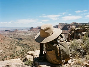
Sun Hat
Our pickFull coverage with a long neck cape.
Sunday Afternoons Adventure Hat

Traction
Our pickGrip for icy or early-season snowy trail sections.
Kahtoola MICROspikes
As an Amazon Associate, Love Hiking Trails earns from qualifying purchases.
Photos

Featured in: The Best Hikes Near Atlanta, Georgia, The Best Hikes Near Huntsville, Alabama
Ratings & Comments
—
No ratings yet
Sign in to rate this trail and leave a comment.
No comments yet. Share what the trail was like for you.
Nearby
Nearby bike trails
Trails nearby
 ExpertHike
Cloudland Canyon Waterfalls Trail
Cloudland Canyon State Park, Georgia
The Waterfalls Trail at Cloudland Canyon State Park is short, only 2 miles round trip, but the park rates it strenuous for a reason: 600 metal stair steps drop you into a canyon on the western edge of Lookout Mountain to two beautiful waterfalls, Cherokee Falls and Hemlock Falls. Going down is a joy.
Distance
2 mi
Difficulty
Expert
Type
Out-and-back
 ExpertHike
Fiery Gizzard Trail
South Cumberland State Park, Tennessee
The Fiery Gizzard is the trail Tennessee backpackers brag about: a boulder-choked gorge with swimming holes, waterfalls, and rim overlooks, and a reputation for being harder than its mileage suggests. It runs 12.8 miles from the North Trailhead in Tracy City to the South Trailhead at Foster Falls.
Distance
12.8 mi
Difficulty
Expert
Type
Point-to-point (shuttle) or out-and-back sections
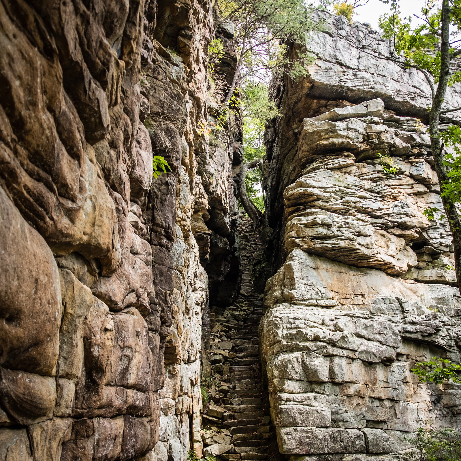 EasyHike
Stone Door
Savage Gulf State Park, Tennessee
Stand at the Stone Door overlook and the Cumberland Plateau simply ends. Hundreds of feet below, Big Creek Gulf stretches off in a sea of hardwood forest.
Distance
0.9 mi
Difficulty
Easy
Type
Out-and-back
More trails to explore
More hikes nearby
Frequently asked questions
How long is the hike to Sunset Rock?
About 0.2 miles one way from the West Brow Road trailhead.
Is there a fee for Sunset Rock?
No. Fees apply only to Point Park ($10 per person, ages 16+).
Where do I park for Sunset Rock?
The small lot on West Brow Road. Don't park on the street. Cravens House and Point Park have alternative lots.
Can I bring my dog?
Yes, on a leash at all times.
Can you climb at Sunset Rock?
Yes. It's one of two climbing areas in the park. Organized groups of 10 or more need a permit.
How difficult is Sunset Rock?
We rate it Easy (1 out of 5) for Chickamauga & Chattanooga National Military Park. That reflects its distance and terrain.
When is the best time to hike Sunset Rock?
The best window is Year-round; fall color and clear winter evenings are spectacular. Always check current conditions and weather before you go.
Do I need a permit or reservation for Sunset Rock?
No special trail permit is required. Free. A limited number of spaces on West Brow Road. Don't park on the street. Point Park itself requires a $10/person entrance pass (ages 16+), and the park is cashless..
Are dogs allowed on the Sunset Rock trail?
Allowed; pets must remain on a leash at all times. Bring water for your dog and follow the area's pet rules.